Coordinate tripod layer
This viewport layer inserts an axis tripod into the picture to indicate the orientation of the simulation coordinate system.
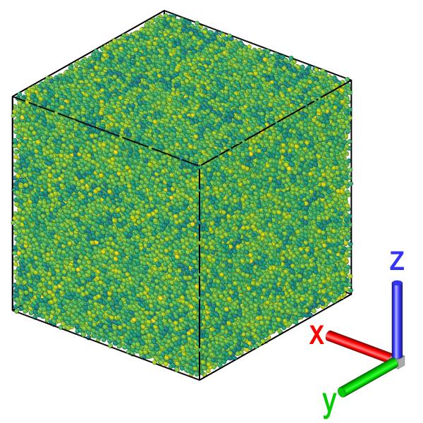
Note that the coordinate axes depicted by the layer are those of the global Cartesian simulation coordinate system. They are not tied to the simulation cell vectors.
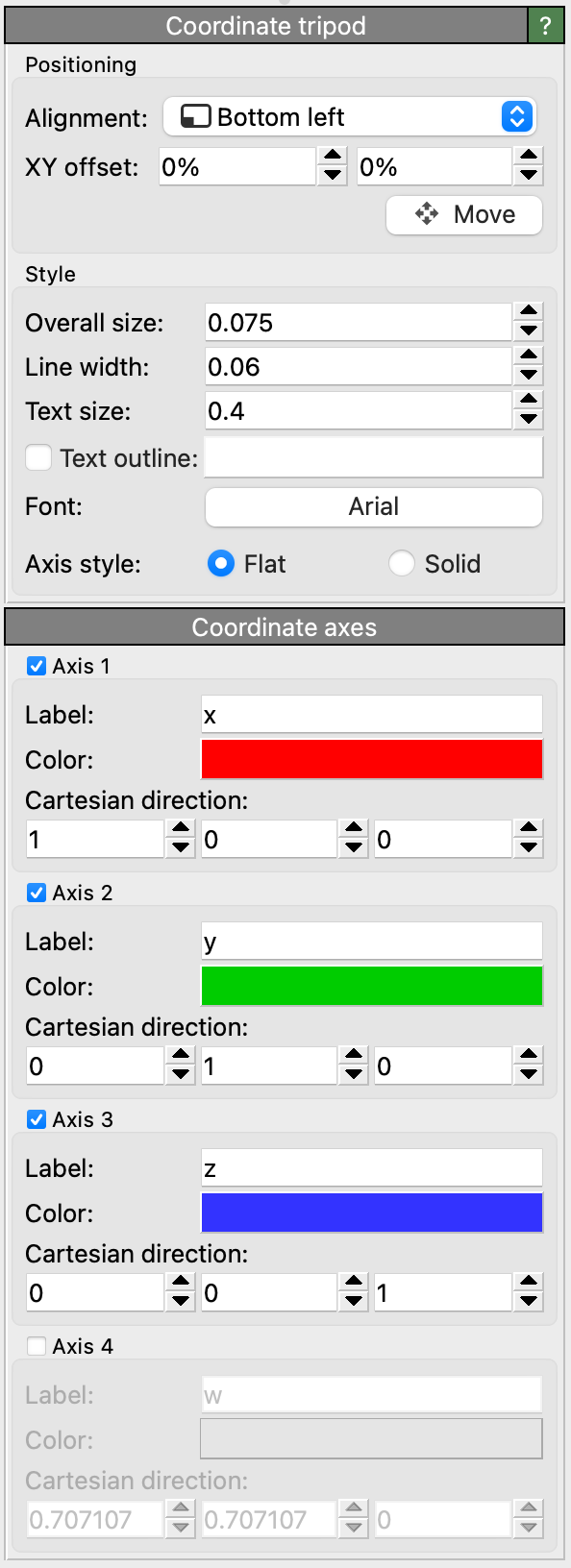
Configuring the axes
The viewport layer can render up to four different axes with configurable text labels, colors, and spatial directions. By default, the three major Cartesian directions are shown.
You can include HTML markup elements in the axis labels to format the text, e.g., to produce special notations such as superscripts, subscripts, or overlines.
See also
ovito.vis.CoordinateTripodOverlay (Python API)